
Dating from c.1431-c.1624, the Charterhouse Water Maps are four large manuscript rolls illustrating the water system built in 1430 to serve the monks of the London Charterhouse in Clerkenwell, when it was a Carthusian monastery just outside the city walls.
Today, the Charterhouse is a living heritage site which keeps and displays the Water Maps in the original location for which they were intended. In this post, James Spellane and Dr Rachel Delman explain how they tested and identified new avenues for interpretation and public engagement with the Water Maps.
In three workshops, James and Rachel brought together academic researchers, museum specialists and members of the Charterhouse community and local area to explore the Water Maps with reference to three themes: Landscape, Object and Community.
The project was supported with the award of an RHS Scouloudi Public History Grant.
Dating from c.1431-c.1624, the Charterhouse Water Maps are four large manuscript rolls illustrating the water system built in 1430 to serve the monks of the London Charterhouse in Clerkenwell, when it was a Carthusian monastery just outside the city walls.
The maps depict the springs, wells and cisterns of the system and a high level of local detail along the watercourse including fields, hedges, windmills, and roads, to help locate the underground pipes. Annotations record whose land the pipes crossed and information for their maintenance.
The Charterhouse, which became an almshouse in 1611, is today a unique living heritage site which keeps and displays the Water Maps in the original location for which they were intended.
Due to constraints of space, however, the maps have not been easily accessible for researchers or public audiences. One map is displayed at a time at the Charterhouse, which exhibits highlights of its collection in a free museum display. The other three maps are stored in the still extant medieval treasury, the space in which they were originally housed, and which is off the visitor route. In 2025, the maps were digitised with the intention of generating new knowledge and access.
Taking the digitisation as our springboard, we organised a series of stakeholder engagement workshops with academic researchers, national and regional curatorial staff, heritage and public engagement professionals from the London Borough of Islington, and the residents of the Charterhouse.
We were able to test and identify new avenues for interpretation and public engagement with the Water Maps, thanks to the award of an RHS Scouloudi Public History Grant for 2025-26.
Taking the digitisation as our springboard, we organised a series of stakeholder engagement workshops with academic researchers, national and regional curatorial staff, heritage and public engagement professionals from the London Borough of Islington, and the residents of the Charterhouse.
The workshops centred on three themes: Landscape, Object and Community. Participants were invited to bring their expertise and, where relevant, examples of related items in their own collections to provide new insights and ways of looking at the documents.
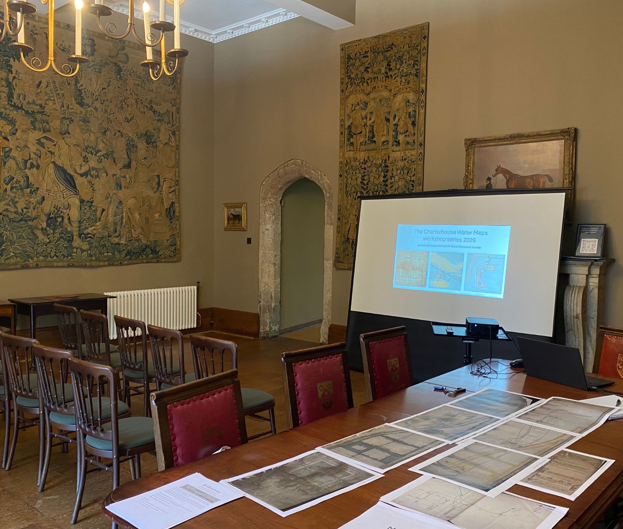
The workshops were attended by a total of 29 participants. Attendees viewed the maps in situ in the on-site museum and treasury, before being invited to respond to a series of questions, some of which were repeated across all the workshops and others tailored to the expertise of each group. Three out of the four groups also engaged in a bespoke walking tour through the streets of London, tracing the former route of the water pipes.
During the workshops, we were particularly interested in the language participants used to describe the documents and whether and how viewing them in situ in the treasury and museum (and, for those who did so, walking the modern-day landscape they depict) had shaped their experience or understanding of them.
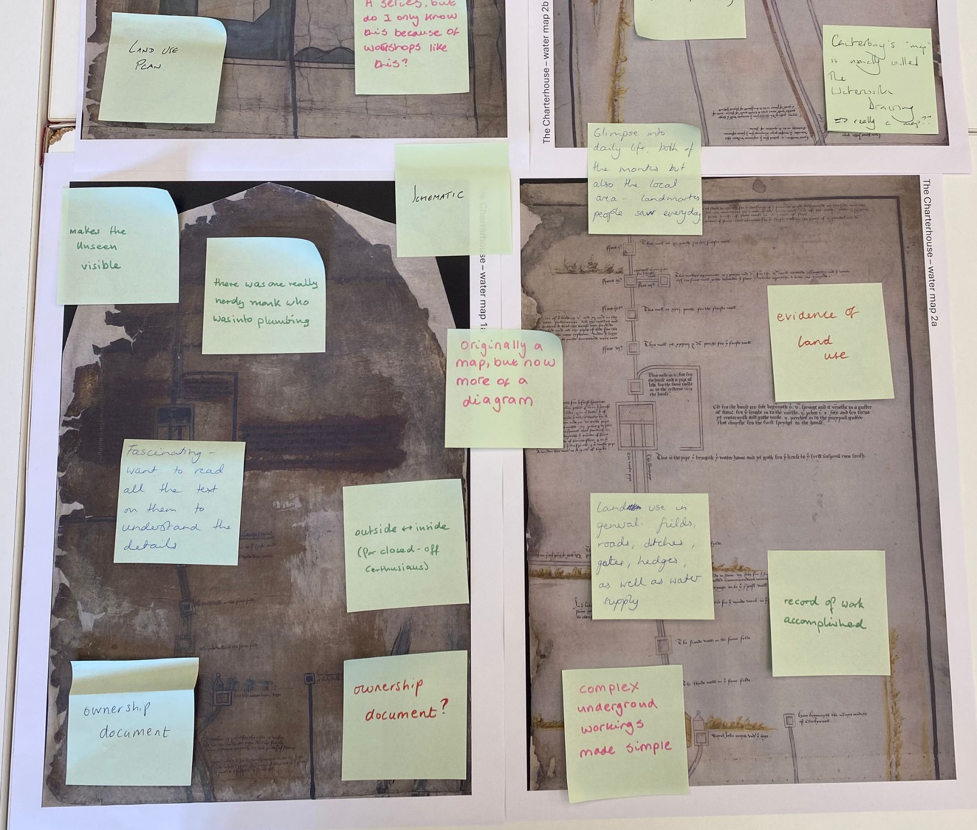
Landscape
The first workshop brought together researchers from five different academic institutions, specialising in medieval cartography, digital mapping, archival management and practice, mudlarking and the Charterhouse’s history. The wide-ranging conversation touched on the inherent tensions in the documents as both artistic and mathematical; as maps and functional plumbing plans; as both an oblique and bird’s eye view of the landscape; and as both inward and outward looking in their perspective and purpose.
Participants described the documents as ‘flow charts’, ‘itineraries’, ‘engineering plans’, representations of ‘infrastructural cartography’ and, in the case of the earliest document, ‘London’s first map’.
Object
The next workshop brought together curatorial and interpretation specialists from Historic Royal Palaces, the Museum of the Order of St John, the National Archives, London Museum, Canterbury Cathedral Archives and Abingdon County Hall Museum to explore the materiality of the documents as collection items, comparable archives and objects, and creative and practical avenues for interpretation and engagement.
Archival evidence was also considered alongside physical objects from the London Museum and other collections, including cisterns, buckets, pipes and even a medieval watering can!
Participants compared the documents to other medieval and early modern depictions of rivers and water courses, including the Chertsey Map, the so-called ‘Monks’ Map’ held in Abington County Hall Museum and the Canterbury Cathedral Waterworks plan, depicting the plumbing system at the cathedral. Archival evidence was also considered alongside physical objects from the London Museum and other collections, including cisterns, buckets, pipes and even a medieval watering can!
Community
When asked what it meant to have the documents in the place where they live, the residents of the Charterhouse community expressed a great sense of pride in having them on site, describing them as a ‘genuine marvel’ and a ‘revelation’. They reflected on how the long history of the maps and their longstanding relationship to the medieval treasury — which some of them had never visited before — created a ‘special feeling’ and a physicality to the medieval past, enabling them to connect their own stories to a continuous and authentic history.
One resident offered a poetic reflection on engaging with the maps which, he wrote, helped him see Overmede in Barnsbury, where the springs feeding the Charterhouse water supply originated, in ‘a new light…when it was a village with farms and meadows, and starry nights without light pollution’.
Conversations also addressed the practical nature of the documents and their value in offering a more ‘down-to-earth’ perspective on the medieval past than stories of monks and kings.
One participant described the maps as a ‘secular sanitation pilgrimage’
Part two of the Community workshop saw local heritage practitioners and tour guides from neighbouring heritage organisations in the Borough of Islington reflect upon the ‘magic’ of seeing the maps on site and the power of the documents in helping them visualise and connect local, place-based stories and the transmission of knowledge over time.
Like the residents, the group commented on the functionality and practical focus of the documents as part of their appeal, with one participant describing them as a ‘secular sanitation pilgrimage’. They also identified the value of the maps for people-centred approaches to the past, and for exploring social relationships.
Outcomes
The workshops were extremely generative in creating new knowledge about the documents, and in identifying opportunities for future collaboration and heritage interpretation and programming, made possible thanks to the support of the RHS Scouloudi Public History Grant.
An extended version of our findings will be published in a special issue of the Open Library of Humanities Journal on the Public Curatorship of the Medieval Past. Future plans for the maps are currently in the pipeline.
About the authors
James Spellane studied medieval history and is currently Visitor Engagement Manager at the Charterhouse in London, where he manages the public programme and collections.
Dr Rachel Delman is a historian and partnerships professional working at the intersection between higher education and heritage.
About the RHS Scouloudi Public History Grants

Scouloudi Public History Grants support innovative practice in public history and provide funding for defined projects by historians working together in and beyond higher education.
Launched in 2025, this programme is generously supported by the Scouloudi Foundation.
HEADER IMAGE: details for the medieval Water Map which dates from the time of the Carthusian Monastery – known as London Charterhouse – founded in 1371. The Charterhouse.
